


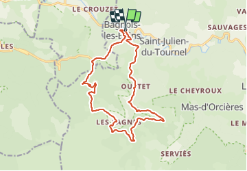

10,3 km | 14,5 km-effort


Utilisateur


Application GPS de randonnée GRATUITE
 SityTrail
IGN / Instituts géographiques
SityTrail World
Le monde est à vous
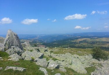
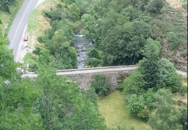
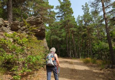
Randonnée Marche de 18,1 km à découvrir à Occitanie, Lozère, Mont Lozère et Goulet. Cette randonnée est proposée par michel1025.

Autre activité
Marche

Marche
Marche

Cheval
Cheval
Marche
Marche